
Bon Air Development
Bon Air Development | |
|---|---|
Locality | |
 | |
| Coordinates: 10°37′42.24″N 61°19′42.96″W / 10.6284000°N 61.3286000°W | |
| Country | Trinidad and Tobago |
| Population (2011) | |
• Total | 5,748 |
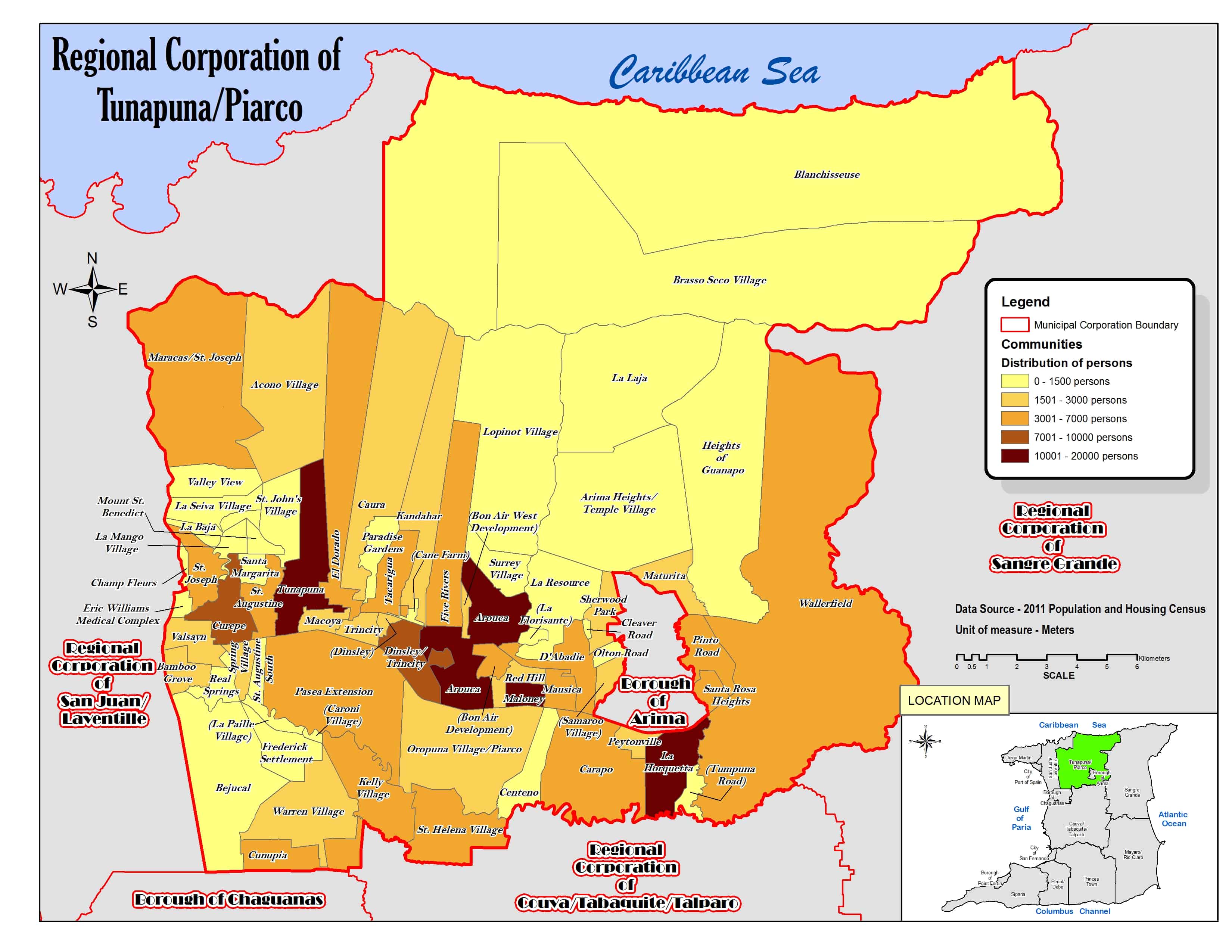
Bon Air Development is a locality in Trinidad and Tobago, part of the Tunapuna-Piarco Region.[1][2]
Geography
[edit]The locality covers part of the island of Trinidad and is bordered to the north by Arouca and D'Abadie, to the south by Arouca and Red Hill, to the east by Red Hill and to the west by Arouca.[3]
| Vertical bar chart demographics of Bon Air Development between 2000 and 2011 |
 |
Politics
[edit]Bon Air is part of the Lopinot/Bon Air West constituency for elections to the Parliament of Trinidad and Tobago.[4]
References
[edit]- ^ "TRINIDAD AND TOBAGO. Municipalities and Communities: The population of the cities, boroughs, regions, parishes and communities of Trinidad and Tobago by census years". Citypopulation.de. 18 May 2020. Retrieved 26 September 2023.
- ^ "Population Statistics: Demographic Profiles of Municipalities and Communities". CENTRAL STATISTICAL OFFICE. Ministry of Planning and Development (cso.gov.tt). 2023. Retrieved 26 September 2023.
- ^ "Regional Corporation of Tunapuna/Piarco. Location map". cso.gov.tt. 2011. Retrieved 26 September 2023.
- ^ "Constituencies for 2025 Parliamentary Elections | Elections And Boundaries Commission". ebctt.com. Retrieved 2025-04-06.
This Trinidad and Tobago location article is a stub. You can help Wikipedia by expanding it. |