
Craig Headwaters Protected Area
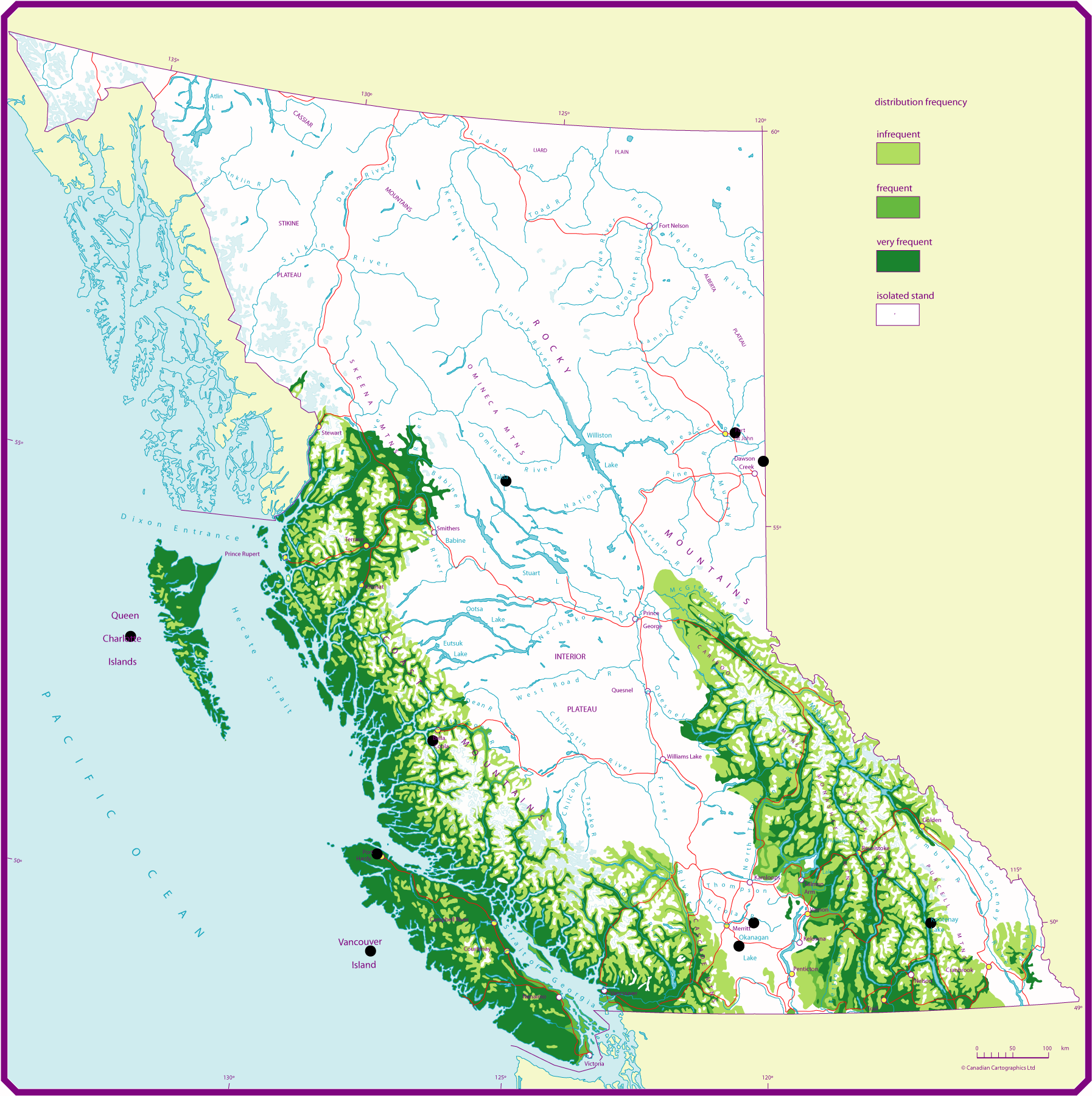
Craig Headwaters Protected Area lies in northwestern British Columbia along the Craig River and has had park status since 2001 as an area of protection for a high-latitude example of the Coastal Western Hemlock zone containing uncommon plant communities.[1] Giant specimens of Sitka spruce, up to 60 meters tall, are present.[1] The area also has some of the northernmost western red cedar in British Columbia.[2]
References
56°33′40″N 131°14′13″W / 56.561°N 131.237°W
This article about a location in British Columbia, Canada is a stub. You can help Wikipedia by expanding it. |