
Module talk:Iraqi insurgency detailed map
| This is the talk page for discussing improvements to the Iraqi insurgency detailed map module. |
|
| Archives: 1, 2, 3, 4, 5Auto-archiving period: 30 days |
Template:Syrian Civil War sanctions
| This module does not require a rating on Wikipedia's content assessment scale. It is of interest to multiple WikiProjects. | |||||||||||||||||||||||||||
| |||||||||||||||||||||||||||


| This is the talk page for discussing improvements to the Iraqi insurgency detailed map module. |
|
| Archives: 1, 2, 3, 4, 5Auto-archiving period: 30 days |
Why Husaybah is red?
I really don't think, that Husaybah on the iraqi-syrian border is in the hands of the government... please put it back to black. In some news, there are reports about some explosions due to the rain in a certain town called Husaybah al-Scharqiyah ("East-Husaybah" - not eastern Husaybah), but it is surely not Husaybah on the border and surely not in possession of government. http://altaghier.tv/2015/10/29/الامطار-تفجر-35-بيتا-ملغما-وعشرات-العبوا
- This has now been fixed. TheNavigatrr (talk) 21:43, 9 April 2017 (UTC)
Page date is out of date in Template "Iraqi insurgency detailed map"
It is not clear whether "Page Date" applies to the map itself, but otherwise the map is undated. It is important to know the "as of" of the map. It is best not to have to resort to the Archives to guess at the "official" date. Note: Since the status of all locations cannot be realistically know in "real time," there is obviously some art to picking a date, if date of last entry is not deemed "best." --- Thanks, PNA
Fallujah Clashes done
The clashes in Fallujah city are done, and Daesh controls the city: https://www.washingtonpost.com/world/middle_east/is-the-islamic-state-losing-its-grip-on-fallujah/2016/02/20/c86adda2-7416-4cb8-9be5-4ec5d30d3882_story.html
Please change the city to black.
- Denied. Now Fallujah is government-held, so there's no need for fighting over it. TheNavigatrr (talk) 21:43, 9 April 2017 (UTC)
Garma is ISIS-held
Garma (northeast of Fallujah) is ISIS-held based on a report from the reliable Institute for the Study of War: "...the sub-district Garma in eastern Anbar remains under ISIS control". It couldn't be any clearer than that. Garma should be changed from red to black.
- Not anymore, ISF and allies recaptured it. TheNavigatrr (talk) 21:42, 9 April 2017 (UTC)
Kabisa
Kabisa (or Kubaysah) near Hit in Al Anbar is controlled by IS and is not encircled.
- This is actually not true. It is controlled by ISIS. Would you care to provide a source? TheNavigatrr (talk) 21:41, 9 April 2017 (UTC)
- It is not controlled by ISIS for over a year. This module is utter trash. Eg here is ISIS own video where they are targeting Iraqi military outpost at Kabisah plant https://twitter.com/worldonalert/status/819310076389445632 Akashat has been taken over by Jughraiyfa PMU back in October last year. Surrounding of Lake Thawra has been clared year ago. Euphrates basin up to Haditha is under Iraqi military control and not some here-and-there towns localted on Anbar main road under ISIS control. Hassan al-Maklaf and whole area around it is under Iraqi military control for 2 years now. ISIS in that province is hiding in mountains, not towns. Ridicolious EllsworthSK (talk) 16:46, 30 April 2017 (UTC)
Roads
Adding the major roads/highways might be a good idea
- See User talk:Tradedia#Iraq location map road overlay Tradediatalk 02:36, 6 April 2017 (UTC)
- Someone should get this working for the individual map. It would be great to see it everywhere. TheNavigatrr (talk) 21:40, 9 April 2017 (UTC)
MAP
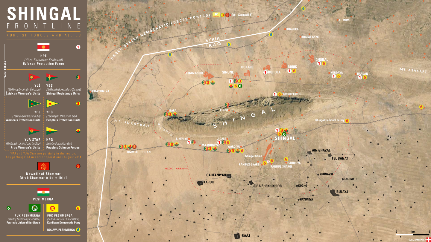
https://imagopyrenaei.files.wordpress.com/2016/05/shingal-front-forces.png
- Very good map. Shame we cannot use it for control purposes. TheNavigatrr (talk) 21:39, 9 April 2017 (UTC)
Iyadiyah/Av Gany
The small town Iyadiyah north of Tell Afar is shown as being held by Peshmerga. I currently have no source for that, but the town is definitely under IS control, as any other maps show it as under IS control. I know, we're not allowed to use these, so does anyone has a recent mentioning of the situation in Iyadiyah?--Ermanarich (talk) 19:58, 18 March 2017 (UTC)
- This has now been fixed. No matter, allies will soon retake the area. TheNavigatrr (talk) 21:38, 9 April 2017 (UTC)
PKK Controlled Areas
Several areas shown on the map as controled by the Kurdistan Regional Government are actually under the control of the PKK and allied militias (Sinjar Resistance Units, ect). This groups hold the town of Sinjar and the surrounding area as well as an area near Qandil. They act in opposition to the KRG.XavierGreen (talk) 17:49, 8 April 2017 (UTC)
- This is true. However, we do not have an appropriate color for them, and we want to make the map simpler. Also, force for control are more spotty. TheNavigatrr (talk) 21:38, 9 April 2017 (UTC)
- So pick a color, orange for instance.XavierGreen (talk) 20:02, 13 April 2017 (UTC)